
White Oak topographic map
Interactive map
Click on the map to display elevation.
About this map
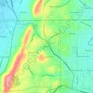
Name: White Oak topographic map, elevation, terrain.
Location: White Oak, Walker County, Georgia, 30741, United States (34.95369 -85.29218 34.99369 -85.25218)
Average elevation: 249 m
Minimum elevation: 198 m
Maximum elevation: 352 m
Other topographic maps
Click on a map to view its topography, its elevation and its terrain.