
Oncil topographic map
Interactive map
Click on the map to display elevation.
About this map
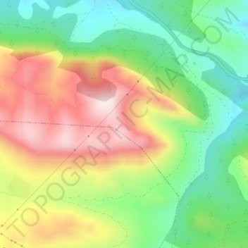
Name: Oncil topographic map, elevation, terrain.
Average elevation: 1,049 m
Minimum elevation: 857 m
Maximum elevation: 1,288 m
Other topographic maps
Click on a map to view its topography, its elevation and its terrain.
El Cascajal
España > Aragón > Cuencas Mineras > Montalbán > Peñas Royas
El Cascajal, Peñas Royas, Montalbán, Cuencas Mineras, Teruel, Aragón, España
Average elevation: 897 m