
Jhargaon topographic map
Interactive map
Click on the map to display elevation.
About this map
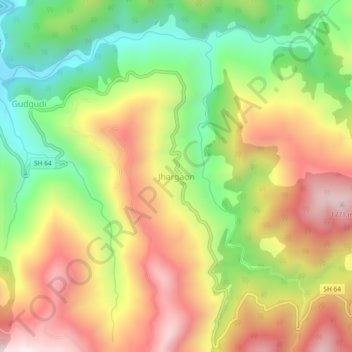
Name: Jhargaon topographic map, elevation, terrain.
Location: Jhargaon, Dhari, Nainital District, Uttarakhand, 263157, India (29.25994 79.75585 29.29994 79.79585)
Average elevation: 1,365 m
Minimum elevation: 985 m
Maximum elevation: 1,762 m