
龙元村 topographic map
Interactive map
Click on the map to display elevation.
About this map
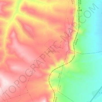
Name: 龙元村 topographic map, elevation, terrain.
Location: 龙元村, 神池县, 忻州市, 山西省, 中国 (39.10748 112.23053 39.14748 112.27053)
Average elevation: 1,476 m
Minimum elevation: 1,266 m
Maximum elevation: 1,633 m
Other topographic maps
Click on a map to view its topography, its elevation and its terrain.