
El Pedregal topographic map
Interactive map
Click on the map to display elevation.
About this map
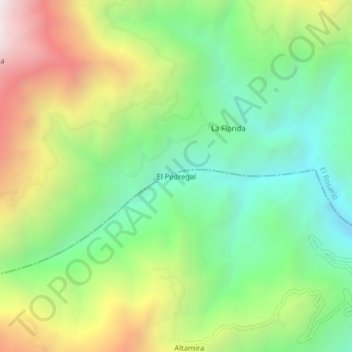
Name: El Pedregal topographic map, elevation, terrain.
Location: El Pedregal, Policarpa, La Cordillera, Nariño, Colombia (1.67629 -77.40110 1.71629 -77.36110)
Average elevation: 1,281 m
Minimum elevation: 660 m
Maximum elevation: 2,288 m