City of London topographic map
Interactive map
Click on the map to display elevation.
City of London
The elevation of the City ranges from sea level at the Thames to 21.6 metres (71 ft) at the junction of High Holborn and Chancery Lane. Two small but notable hills are within the historic core, Ludgate Hill to the west and Cornhill to the east. Between them ran the Walbrook, one of the many "lost" rivers or streams of London (another is the Fleet).
About this map
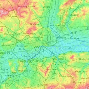
Name: City of London topographic map, elevation, terrain.
Location: City of London, England, EC2V 5AE, United Kingdom (51.35562 -0.25200 51.67562 0.06800)
Average elevation: 42 m
Minimum elevation: -3 m
Maximum elevation: 166 m
Other topographic maps
Click on a map to view its topography, its elevation and its terrain.