
Goa Giri Campuhan (GGC) Waterfall topographic map
Interactive map
Click on the map to display elevation.
About this map
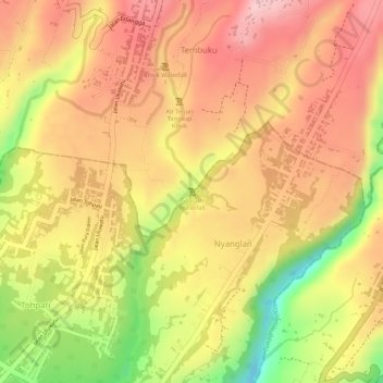
Name: Goa Giri Campuhan (GGC) Waterfall topographic map, elevation, terrain.
Average elevation: 408 m
Minimum elevation: 279 m
Maximum elevation: 479 m