
Camilla topographic map
Interactive map
Click on the map to display elevation.
About this map
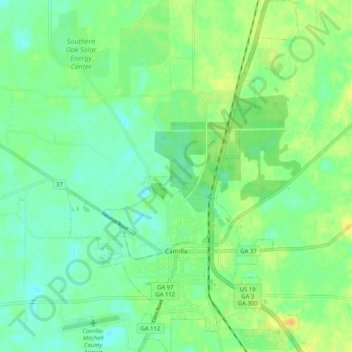
Name: Camilla topographic map, elevation, terrain.
Location: Camilla, Mitchell County, Georgia, United States (31.20597 -84.24195 31.29368 -84.17455)
Average elevation: 54 m
Minimum elevation: 43 m
Maximum elevation: 69 m