
Bweyogerere topographic map
Interactive map
Click on the map to display elevation.
About this map
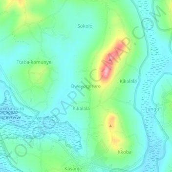
Name: Bweyogerere topographic map, elevation, terrain.
Location: Bweyogerere, Entebbe City, Central Region, Uganda (0.15188 32.38110 0.19188 32.42110)
Average elevation: 1,174 m
Minimum elevation: 1,137 m
Maximum elevation: 1,287 m