
Gandawa topographic map
Interactive map
Click on the map to display elevation.
About this map
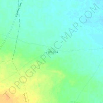
Name: Gandawa topographic map, elevation, terrain.
Location: Gandawa, Gwarabjawa, Dambatta, Kano State, Nigeria (12.46960 8.54424 12.50960 8.58424)
Average elevation: 432 m
Minimum elevation: 422 m
Maximum elevation: 450 m
Other topographic maps
Click on a map to view its topography, its elevation and its terrain.