
Buurane topographic map
Interactive map
Click on the map to display elevation.
About this map
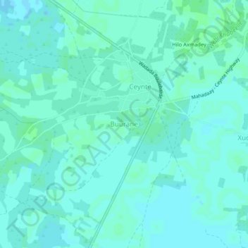
Name: Buurane topographic map, elevation, terrain.
Location: Buurane, Jowhar District, Middle Shebelle, Hirshabelle, Somalia (2.93578 45.48962 2.97578 45.52962)
Average elevation: 112 m
Minimum elevation: 109 m
Maximum elevation: 114 m