
Dow City topographic map
Interactive map
Click on the map to display elevation.
About this map
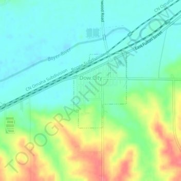
Name: Dow City topographic map, elevation, terrain.
Location: Dow City, Crawford County, Iowa, 51528, United States (41.92135 -95.49978 41.93256 -95.48884)
Average elevation: 357 m
Minimum elevation: 335 m
Maximum elevation: 402 m