
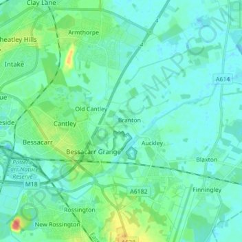
Cantley topographic map
Interactive map
Click on the map to display elevation.
About this map
Name: Cantley topographic map, elevation, terrain.
Location: Cantley, Doncaster, South Yorkshire, England, United Kingdom (53.48258 -1.09772 53.53566 -0.95869)
Average elevation: 9 m
Minimum elevation: -2 m
Maximum elevation: 48 m
England trails, hiking, mountain biking, running and outdoor activities
Other topographic maps
Click on a map to view its topography, its elevation and its terrain.