
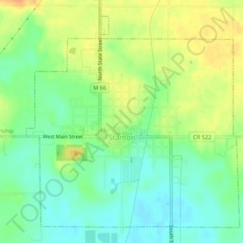
Stanton topographic map
Interactive map
Click on the map to display elevation.
About this map
Name: Stanton topographic map, elevation, terrain.
Location: Stanton, Montcalm County, Michigan, United States (43.28248 -85.09601 43.30595 -85.06347)
Average elevation: 281 m
Minimum elevation: 263 m
Maximum elevation: 302 m