
Cipressa topographic map
Interactive map
Click on the map to display elevation.
About this map
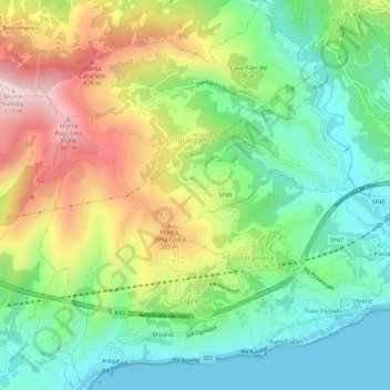
Name: Cipressa topographic map, elevation, terrain.
Location: Cipressa, Provincia di Imperia, Liguria, Italy (43.84185 7.90863 43.88177 7.95322)
Average elevation: 214 m
Minimum elevation: 0 m
Maximum elevation: 573 m
Other topographic maps
Click on a map to view its topography, its elevation and its terrain.