
Make a donation
Gear up for your next adventure:
As an Amazon Associate, this site earns from qualifying purchases at no extra cost to you.
Swiss topographic map
Click on the map to display elevation.
Make a donation
Gear up for your next adventure:
As an Amazon Associate, this site earns from qualifying purchases at no extra cost to you.
About this map
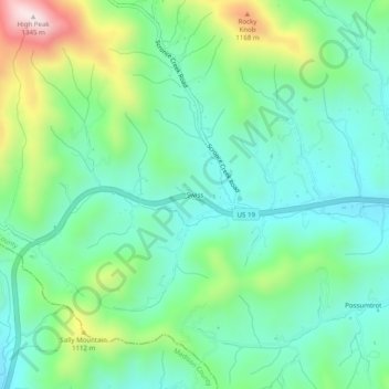
Name: Swiss topographic map, elevation, terrain.
Location: Swiss, Yancey County, North Carolina, United States (35.89428 -82.46986 35.93428 -82.42986)
Average elevation: 935 m
Minimum elevation: 779 m
Maximum elevation: 1,332 m
Make a donation
Gear up for your next adventure:
As an Amazon Associate, this site earns from qualifying purchases at no extra cost to you.
Other topographic maps
Click on a map to view its topography, its elevation and its terrain.
Mount Mitchell State Park
United States > North Carolina > Yancey County > Burnsville
In addition to Mount Mitchell itself, the park encompasses several other peaks which top out at over 6,000 feet (1,800 m) in elevation, including Mount Hallback, Mount Craig (just 52 feet (16 m) shy of Mount Mitchell in elevation and the second highest peak east of the Mississippi River), Big Tom and Balsam…
Average elevation: 1,271 m
Make a donation
Gear up for your next adventure:
As an Amazon Associate, this site earns from qualifying purchases at no extra cost to you.