
Borovets topographic map
Interactive map
Click on the map to display elevation.
Borovets
Borovets (Bulgarian: Боровец [ˈbɔrovɛt͡s]), known as Chamkoria (Чамкория [ˈt͡ʃam koˈrijɐ]) until the middle of the 20th century, is a popular Bulgarian mountain resort situated in Sofia Province, on the northern slopes of Rila mountain, at an elevation of 1350 m.
About this map
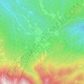
Name: Borovets topographic map, elevation, terrain.
Location: Borovets, Samokov, Sofia, 2010, Bulgaria (42.24683 23.58743 42.28683 23.62743)
Average elevation: 1,394 m
Minimum elevation: 1,104 m
Maximum elevation: 1,870 m