
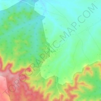
Qabilat Sidi Mu`ammar topographic map
Interactive map
Click on the map to display elevation.
About this map
Name: Qabilat Sidi Mu`ammar topographic map, elevation, terrain.
Location: Qabilat Sidi Mu`ammar, Murqub, Libya (32.47557 13.86121 32.51557 13.90121)
Average elevation: 336 m
Minimum elevation: 267 m
Maximum elevation: 461 m