
Walis topographic map
Interactive map
Click on the map to display elevation.
About this map
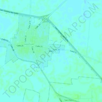
Name: Walis topographic map, elevation, terrain.
Location: Walis, Hoctún, Yucatán, Mexico (20.84260 -89.21232 20.88260 -89.17232)
Average elevation: 15 m
Minimum elevation: 12 m
Maximum elevation: 18 m