Geolocate

Boca Raton topographic map

Click on the map to display elevation.

About this map

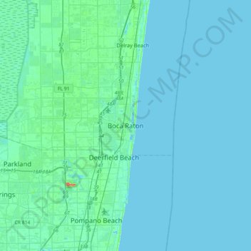
Name: Boca Raton topographic map, elevation, terrain.

Location: Boca Raton, Palm Beach County, Florida, 33432, United States (26.19869 -80.24310 26.51869 -79.92310)

Average elevation: 4 m

Minimum elevation: -1 m

Maximum elevation: 44 m

Gear up for your next adventure:

🧴Tick Removal Tools - Small, essential health tool for UK woodland and moorland
🧰Survival Kits - Emergency tools for remote environments
🎒Multi-day Trekking Packs - Large capacity backpacks for wild camping and long-distance trails
🔦LED Camping Lanterns - Illumination for reading maps inside your tent at night
📐Altimeters & Barometers - Tools for measuring altitude and air pressure

As an Amazon Associate, this site earns from qualifying purchases at no extra cost to you.