Geolocate

Chandupatla topographic map

Click on the map to display elevation.

About this map

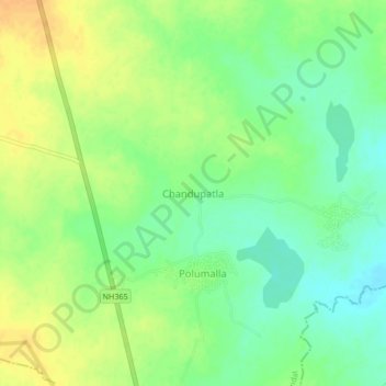
Name: Chandupatla topographic map, elevation, terrain.

Location: Chandupatla, Maddirala mandal, Suryapet, Telangana, India (17.36406 79.67771 17.40406 79.71771)

Average elevation: 193 m

Minimum elevation: 178 m

Maximum elevation: 208 m

Gear up for your next adventure:

🪢Paracord - Multi-purpose cord for camping and survival
🪓Outdoor Multitools - Versatile tools for hiking and camping
🔋Solar Power Banks - Keep your GPS and phone charged during multi-day expeditions
🧭Professional Hiking Compasses - High-precision liquid-filled compasses for map reading and orientation
GPS Outdoor Watches - Watches with GPS tracking for hiking and exploration

As an Amazon Associate, this site earns from qualifying purchases at no extra cost to you.