
Colima topographic map
Interactive map
Click on the map to display elevation.
About this map
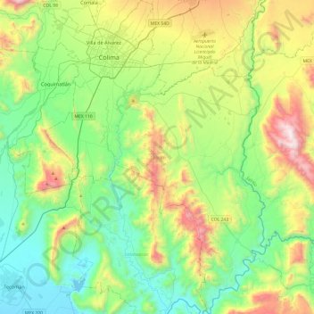
Name: Colima topographic map, elevation, terrain.
Location: Colima, Mexique (18.87133 -103.82584 19.32576 -103.48845)
Average elevation: 496 m
Minimum elevation: 20 m
Maximum elevation: 1,592 m
Other topographic maps
Click on a map to view its topography, its elevation and its terrain.