
Rajeshpur Eco-Park topographic map
Interactive map
Click on the map to display elevation.
About this map
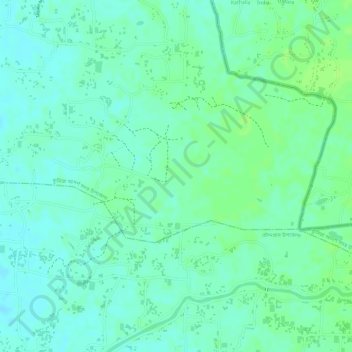
Name: Rajeshpur Eco-Park topographic map, elevation, terrain.
Average elevation: 15 m
Minimum elevation: 9 m
Maximum elevation: 21 m
Other topographic maps
Click on a map to view its topography, its elevation and its terrain.
Lalmai
Bangladesh > Chattogram Division > Cumilla Adarsha Sadar Upazila
Lalmai, Cumilla Adarsha Sadar Upazila, Cumilla District, Chattogram Division, Bangladesh
Average elevation: 14 m
Cumilla
Bangladesh > Chattogram Division > Cumilla Adarsha Sadar Upazila
Cumilla, Cumilla Adarsha Sadar Upazila, Cumilla District, Chattogram Division, 3500, Bangladesh
Average elevation: 16 m