Geolocate

Kago topographic map

Interactive map

Click on the map to display elevation.

About this map

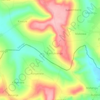
Name: Kago topographic map, elevation, terrain.

Location: Kago, Kalungu, Central Region, Uganda (-0.25201 31.77808 -0.21201 31.81808)

Average elevation: 1,261 m

Minimum elevation: 1,190 m

Maximum elevation: 1,340 m

Other topographic maps

Click on a map to view its topography, its elevation and its terrain.

Bujagali

Uganda > Kalungu

Bujagali, Kalungu, Central Region, Uganda

Average elevation: 1,232 m

Kasunga

Uganda > Kalungu > Kasunga

Kasunga, Kalungu, Central Region, Uganda

Average elevation: 1,202 m