
Tanjung Enim topographic map
Interactive map
Click on the map to display elevation.
About this map
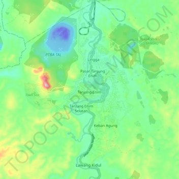
Name: Tanjung Enim topographic map, elevation, terrain.
Location: Tanjung Enim, Muara Enim, South Sumatra, Sumatra, Indonesia (-3.77493 103.72416 -3.74462 103.81519)
Average elevation: 76 m
Minimum elevation: -68 m
Maximum elevation: 261 m