
Limberg topographic map
Interactive map
Click on the map to display elevation.
About this map
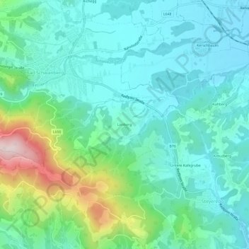
Name: Limberg topographic map, elevation, terrain.
Location: Limberg, Wies, Bezirk Deutschlandsberg, Styria, 8551, Austria (46.72820 15.19912 46.76820 15.23912)
Average elevation: 460 m
Minimum elevation: 357 m
Maximum elevation: 807 m