

Megisti topographic map
Click on the map to display elevation.
Megisti
West of the town, beyond the summit of the island known as Vigla (270 m), stands Palaiokastro (old castle), the island's ancient acropolis. This fortified elevation has classical origins (see below, history section): its plan is rectangular and measures 60 by 80 metres (200 ft × 260 ft). In its interior stand an ancient tower, built with square limestone blocks, and large water cisterns. Carved on the base of the castle there is also a Doric inscription, dating back to the 4th or 3rd centuries BC, with references to Megiste (the ancient name of Kastellorizo) and its dependence on Rhodes. On the east side there are remnants of a gateway, or propylaea.
About this map
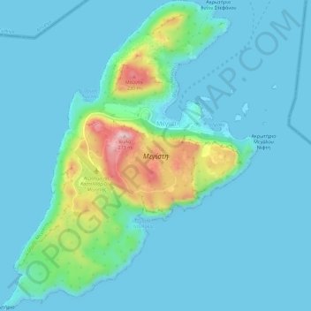
Name: Megisti topographic map, elevation, terrain.
Average elevation: 40 m
Minimum elevation: 0 m
Maximum elevation: 265 m