
Greenville topographic map
Interactive map
Click on the map to display elevation.
About this map
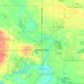
Name: Greenville topographic map, elevation, terrain.
Location: Greenville, Montcalm County, Michigan, 48838, United States (43.15864 -85.29316 43.20657 -85.21847)
Average elevation: 260 m
Minimum elevation: 238 m
Maximum elevation: 287 m