Geolocate

Maganoor topographic map

Click on the map to display elevation.

About this map

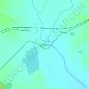
Name: Maganoor topographic map, elevation, terrain.

Location: Maganoor, Maganoor mandal, Narayanpet, Telangana, India (16.43914 77.40976 16.47914 77.44976)

Average elevation: 350 m

Minimum elevation: 338 m

Maximum elevation: 412 m

Gear up for your next adventure:

Insulated Travel Mugs - Keep drinks hot while surveying the landscape from a summit
🧭Orienteering Compasses - Accurate compasses for map-based navigation
🗺️Ordnance Survey Maps - Essential paper maps for hiking across the UK national parks
📦Dry Bags - Waterproof bags to protect gear from rain
🔋Lithium AA Batteries - Long-lasting power that performs well in cold mountain weather

As an Amazon Associate, this site earns from qualifying purchases at no extra cost to you.