
Casha topographic map
Interactive map
Click on the map to display elevation.
About this map
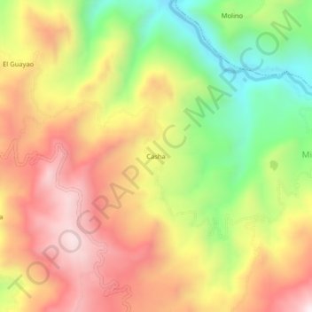
Name: Casha topographic map, elevation, terrain.
Location: Casha, La Esperanza, Santa Cruz, Cajamarca, Perú (-6.63109 -78.87798 -6.59109 -78.83798)
Average elevation: 2,016 m
Minimum elevation: 1,623 m
Maximum elevation: 2,370 m