
Muir topographic map
Interactive map
Click on the map to display elevation.
About this map
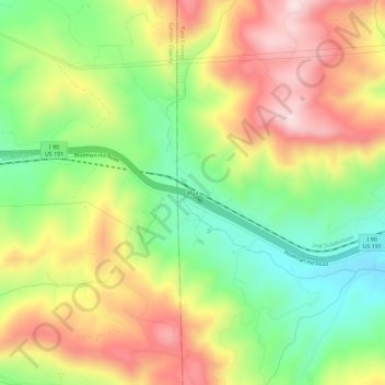
Name: Muir topographic map, elevation, terrain.
Location: Muir, Park County, Montana, 59175, États-Unis d'Amérique (45.64299 -110.81355 45.68299 -110.77355)
Average elevation: 1,791 m
Minimum elevation: 1,603 m
Maximum elevation: 2,004 m