
Djègbadji topographic map
Interactive map
Click on the map to display elevation.
About this map
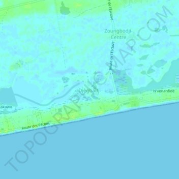
Name: Djègbadji topographic map, elevation, terrain.
Location: Djègbadji, Ouidah, Atlantique Department, Benin (6.30782 2.06238 6.34782 2.10238)
Average elevation: 2 m
Minimum elevation: -1 m
Maximum elevation: 11 m