
Baranga topographic map
Interactive map
Click on the map to display elevation.
About this map
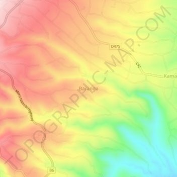
Name: Baranga topographic map, elevation, terrain.
Location: Baranga, Imenti South, Meru County, Eastern, Kenya (-0.12257 37.66369 -0.08257 37.70369)
Average elevation: 1,346 m
Minimum elevation: 1,159 m
Maximum elevation: 1,489 m