
Hoogkerk topographic map
Interactive map
Click on the map to display elevation.
About this map
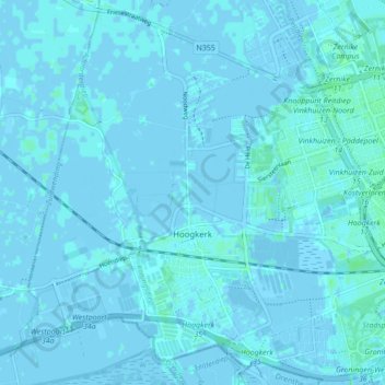
Name: Hoogkerk topographic map, elevation, terrain.
Location: Hoogkerk, Groningen, Nederland (53.19556 6.46275 53.24550 6.54859)
Average elevation: 1 m
Minimum elevation: -5 m
Maximum elevation: 6 m
Other topographic maps
Click on a map to view its topography, its elevation and its terrain.