
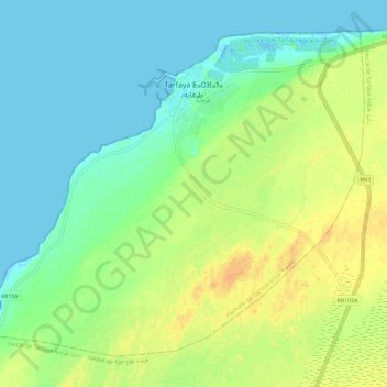
Tarfaya topographic map
Interactive map
Click on the map to display elevation.
Tarfaya
Sebkha Tah, the lowest altitude point in Morocco (55 meters below sea level) is located in Tarfaya province. Tarfaya is also the closest city to the Khenifiss National Park, added to the UNESCO World Heritage Tentative list, an ecological site home to hundreds of different kinds of migratory birds each year. It is estimated that more than 20,000 birds from 211 different species breed, nest and feed regularly in the park.
About this map
Name: Tarfaya topographic map, elevation, terrain.
Average elevation: 12 m
Minimum elevation: -2 m
Maximum elevation: 30 m