
Grosshorn topographic map
Interactive map
Click on the map to display elevation.
About this map
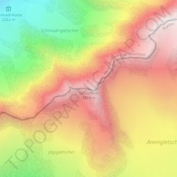
Name: Grosshorn topographic map, elevation, terrain.
Location: Grosshorn, Blatten, Westlich Raron, Wallis, 3919, Switzerland (46.48693 7.91003 46.48703 7.91013)
Average elevation: 3,073 m
Minimum elevation: 2,155 m
Maximum elevation: 3,794 m