
Samrong topographic map
Interactive map
Click on the map to display elevation.
About this map
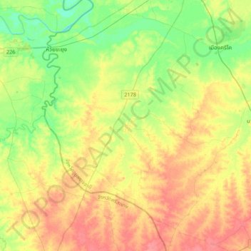
Name: Samrong topographic map, elevation, terrain.
Location: Samrong, Ubon Ratchathani Province, Thailand (14.84894 104.61956 15.16894 104.93956)
Average elevation: 136 m
Minimum elevation: 108 m
Maximum elevation: 168 m