
信濃町 topographic map
Interactive map
Click on the map to display elevation.
About this map
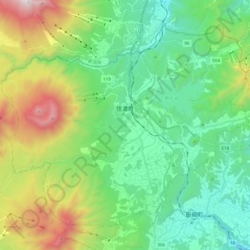
Name: 信濃町 topographic map, elevation, terrain.
Location: 信濃町, 上水內郡, 长野县, 中部地方, 389-1303, 日本 (36.74660 138.08884 36.87115 138.27908)
Average elevation: 942 m
Minimum elevation: 396 m
Maximum elevation: 2,289 m