
Tagab topographic map
Interactive map
Click on the map to display elevation.
About this map
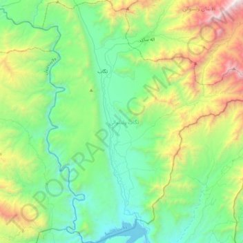
Name: Tagab topographic map, elevation, terrain.
Location: Tagab, Kapisa Province, Afghanistan (34.63414 69.55580 34.94529 69.88604)
Average elevation: 1,767 m
Minimum elevation: 1,032 m
Maximum elevation: 3,835 m
Other topographic maps
Click on a map to view its topography, its elevation and its terrain.