
Hwereso topographic map
Interactive map
Click on the map to display elevation.
About this map
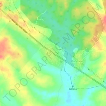
Name: Hwereso topographic map, elevation, terrain.
Location: Hwereso, Ejisu Municipal District, Ashanti Region, Ghana (6.65724 -1.40228 6.69724 -1.36228)
Average elevation: 224 m
Minimum elevation: 199 m
Maximum elevation: 256 m
Other topographic maps
Click on a map to view its topography, its elevation and its terrain.