
Tacaná topographic map
Interactive map
Click on the map to display elevation.
About this map
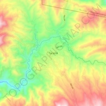
Name: Tacaná topographic map, elevation, terrain.
Location: Tacaná, San Marcos, Guatemala (15.19996 -92.10812 15.27996 -92.02812)
Average elevation: 2,497 m
Minimum elevation: 2,023 m
Maximum elevation: 3,043 m