
Eggendorf topographic map
Interactive map
Click on the map to display elevation.
About this map
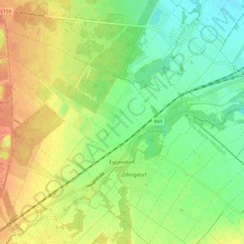
Name: Eggendorf topographic map, elevation, terrain.
Location: Eggendorf, Bezirk Wiener Neustadt, Lower Austria, Austria (47.84002 16.24924 47.89378 16.33817)
Average elevation: 243 m
Minimum elevation: 222 m
Maximum elevation: 266 m
Other topographic maps
Click on a map to view its topography, its elevation and its terrain.
Völlerinquelle
Austria > Lower Austria > Bezirk Wiener Neustadt > Gemeinde Hohe Wand > Maiersdorf
Völlerinquelle, Völlerin-Steig, Katastralgemeinde Maiersdorf, Maiersdorf, Gemeinde Hohe Wand, Bezirk Wiener Neustadt, Lower Austria, 2724, Austria
Average elevation: 737 m
Gemeinde Rohr im Gebirge
Austria > Lower Austria > Bezirk Wiener Neustadt
Gemeinde Rohr im Gebirge, Bezirk Wiener Neustadt, Lower Austria, 2663, Austria
Average elevation: 809 m
Gaaden
Austria > Lower Austria > Bezirk Wiener Neustadt > Gemeinde Hohe Wand > Gaaden
Gaaden, Gemeinde Hohe Wand, Bezirk Wiener Neustadt, Lower Austria, 2723, Austria
Average elevation: 480 m
Gemeinde Gutenstein
Austria > Lower Austria > Bezirk Wiener Neustadt > Gemeinde Gutenstein
Gemeinde Gutenstein, Bezirk Wiener Neustadt, Lower Austria, 2770, Austria
Average elevation: 777 m