
Hauser topographic map
Interactive map
Click on the map to display elevation.
About this map
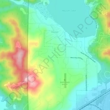
Name: Hauser topographic map, elevation, terrain.
Location: Hauser, Kootenai County, Idaho, États-Unis d'Amérique (47.74600 -117.03416 47.78292 -116.99928)
Average elevation: 712 m
Minimum elevation: 645 m
Maximum elevation: 852 m