
Paratge Natural Municipal Serra de les Àguiles i Sant Pasqual topographic map
Interactive map
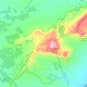
Click on the map to display elevation.
About this map
Name: Paratge Natural Municipal Serra de les Àguiles i Sant Pasqual topographic map, elevation, terrain.
Average elevation: 319 m
Minimum elevation: 203 m
Maximum elevation: 542 m