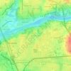
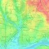
Tuscaloosa topographic map
Click on the map to display elevation.
Tuscaloosa
The Tuscaloosa National Airport (KTCL) is 3.5 miles northwest of Tuscaloosa in Tuscaloosa County, Alabama. Owned and operated by the City of Tuscaloosa, the airport is an FAA-designated National General Aviation Airport and Part 139 Certified. Tuscaloosa National Airport covers 826 acres at an elevation of 170’ including two runways: Runway 4/22 is 6,499’ x 150’ and 12/30 is 4,000’ by 100’. Primary services provided by the airport include supporting annual collegiate athletic charters, freight charters in support of the local automotive and industrial community, flight training, transient operations, game day operations, aircraft maintenance, medical services and military flights. The Tuscaloosa National Airport provides an overall $48.6 million annual economic impact for the region.
About this map
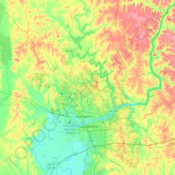
Name: Tuscaloosa topographic map, elevation, terrain.
Location: Tuscaloosa, Tuscaloosa County, Alabama, United States (33.11145 -87.66400 33.45788 -87.24623)
Average elevation: 97 m
Minimum elevation: 30 m
Maximum elevation: 210 m
Other topographic maps
Click on a map to view its topography, its elevation and its terrain.