
Kaster topographic map
Interactive map
Click on the map to display elevation.
About this map
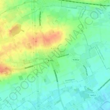
Name: Kaster topographic map, elevation, terrain.
Location: Kaster, Anzegem, Kortrijk, West Flanders, 8572, Belgium (50.80016 3.47448 50.82478 3.51105)
Average elevation: 25 m
Minimum elevation: 9 m
Maximum elevation: 51 m