
San Rafael Norte topographic map
Interactive map
Click on the map to display elevation.
About this map
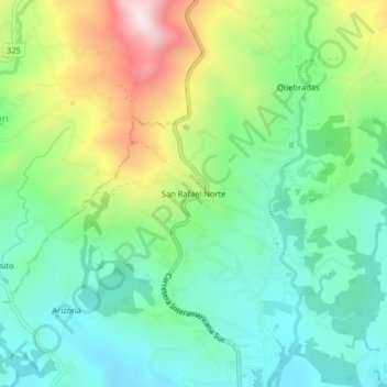
Name: San Rafael Norte topographic map, elevation, terrain.
Average elevation: 911 m
Minimum elevation: 719 m
Maximum elevation: 1,310 m
Other topographic maps
Click on a map to view its topography, its elevation and its terrain.
Ojo de Agua
Costa Rica > Cantón Pérez Zeledón > San Isidro de El General
Ojo de Agua, San Isidro de El General, Cantón Pérez Zeledón, Provincia San José, 11901, Costa Rica
Average elevation: 940 m