
Moorhouse Moors topographic map
Interactive map
Click on the map to display elevation.
About this map
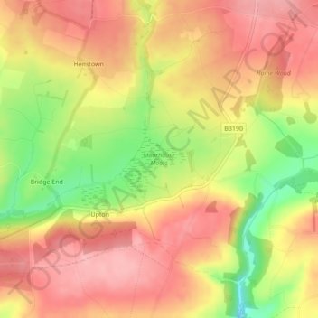
Name: Moorhouse Moors topographic map, elevation, terrain.
Location: Moorhouse Moors, Upton, Somerset, England, United Kingdom (51.05261 -3.43046 51.05787 -3.42132)
Average elevation: 291 m
Minimum elevation: 212 m
Maximum elevation: 338 m