
La Masure topographic map
Interactive map
Click on the map to display elevation.
About this map
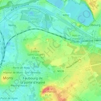
Name: La Masure topographic map, elevation, terrain.
Location: La Masure, Mons, Hainaut, Wallonia, 7000, Belgium (50.44585 3.95856 50.48585 3.99856)
Average elevation: 46 m
Minimum elevation: 28 m
Maximum elevation: 87 m