
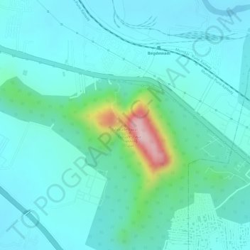
Ghoradeshwar topographic map
Interactive map
Click on the map to display elevation.
About this map
Name: Ghoradeshwar topographic map, elevation, terrain.
Location: Ghoradeshwar, Mawal, Pune, Maharashtra, 410506, India (18.69252 73.70410 18.69262 73.70420)
Average elevation: 619 m
Minimum elevation: 572 m
Maximum elevation: 819 m